Turn ZWCAD Civil terrain, road, and infrastructure views into clear presentation visuals.
Visualization workflow for ZWCAD Civil surveying, terrain, road, earthwork, and underground infrastructure designs. Use a clear design viewport to communicate how a proposed route, graded site, drainage network, or utility corridor relates to its surrounding landscape before a formal technical drawing package is read.


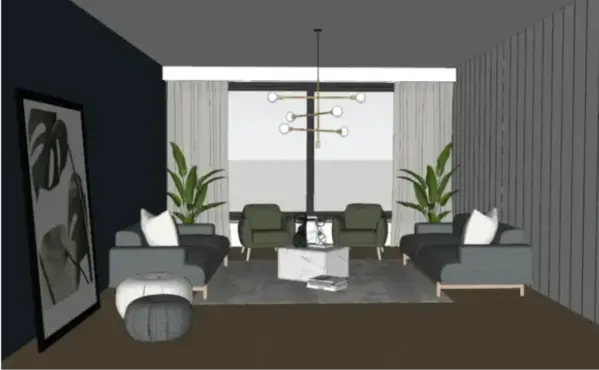
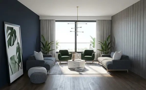


Visualization workflow for ZWCAD Civil surveying, terrain, road, earthwork, and underground infrastructure designs. Use a clear design viewport to communicate how a proposed route, graded site, drainage network, or utility corridor relates to its surrounding landscape before a formal technical drawing package is read.
ZWCAD Civil is used for civil design work spanning surveyed topography, terrain surfaces, road geometry, profiles, cross sections, earthworks, and underground infrastructure. Its civil workflows can connect road alignment changes with vertical alignment, organize road elements such as edges and ditches on layers, and produce information for drainage, water, sewage, electricity, or gas layouts. That makes it a defensible starting point for a visual explaining the physical proposal rather than only its linework.
RENDERCAD is useful when a road corridor, development platform, cut-and-fill concept, streetscape, or drainage-served site needs to be understood by a client, community audience, or multidisciplinary project team. A perspective or oblique design view can make terrain transitions, pavement extent, planting, retaining features, adjacent buildings, and access more legible. It can support early option discussions, stakeholder presentations, and marketing or planning imagery, but it does not replace the source CAD design or engineering review.
In ZWCAD Civil, isolate a focused plan, shaded terrain view, or corridor view of the proposed road, site, earthwork area, or utility route. Keep the cues that explain the proposal: centerline or route, pavement and curb extents, slopes, ditches, drainage structures, major contours, terrain breaks, and nearby buildings or property context. Hide dimensions, labels, survey point codes, dense hatching, and construction-only layers so the view has a clear hierarchy.
Capture the viewport at the scale and angle that best shows the design intent, then use RENDERCAD to explore believable paving, soil and planted areas, terrain context, walls, lighting, weather, and a presentation-oriented camera. Treat the result as a communication visual and compare it with the original ZWCAD Civil view before sharing. Keep survey control, coordinates, surface data, pipe depths, profiles, cross sections, quantities, specifications, and construction documentation in ZWCAD Civil as the source of truth.
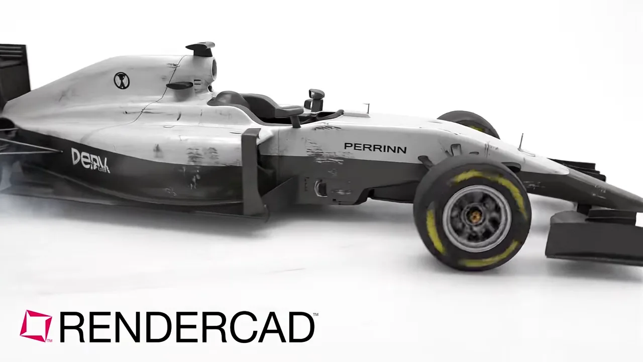
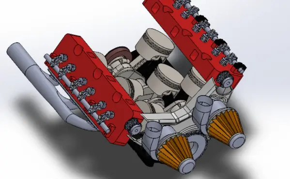
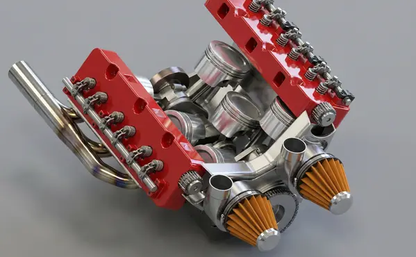
Modeled by CADSharp in Onshape. Rendered with RENDERCAD.
Add | Change | or Remove referenced objects with the stroke of a brush.
RENDERCAD uses a maintained selection of image-generation models for different rendering tasks. Results can vary by model and input, so compare generated output with the source design before relying on geometry, materials, or dimensions.
| Feature | RENDERCAD | Competitor |
|---|---|---|
| Engine | Generative AI | Varies by tool |
| Output | Images + Video | Varies by tool |
| Resolution | HD / 4K | Varies by workflow |
| Image Speed | Image renders complete in 60 seconds. | Varies by scene/tool |
| Video Speed | Videos complete in 2-5 minutes. | Varies by workflow |
| Scene Set Up | No separate local scene | Varies by workflow |
| Input | Screen Snip | Varies by tool |
| Hardware | Cloud GPU | Often local GPU/CPU |
| Install | None | Varies (web or app) |
| Cost | from $9/mo | Varies widely |
Read the numbers. We trust you to know theirs.
Skip a separate local scene build. Pick a condition, material, and background while RENDERCAD handles the image-generation step. Image renders complete in 60 seconds.
 ™
RENDERCAD™
™
RENDERCAD™
Use the browser workflow directly, capture a selected view with the desktop app, or start from the browser extension.
Get StartedCommon solutions for ZWCAD Civil users
Yes. RENDERCAD's Render Studio works on Safari or Chrome on Mac, allowing you to turn CAD screenshots, real photos, and hand drawings into pro renders easily.
Generating images or videos consumes credits. Your balance refreshes monthly based on your subscription plan.
Start with a clear, well-framed viewport and describe the intended material and lighting. Image renders complete in 60 seconds, and you can iterate or mask a region when an artifact remains.
RENDERCAD can place a clear viewport capture into a described lifestyle environment, such as a kitchen or office, and produce options for review.
The screenshot workflow uses image inputs, presets, and plain-language direction. Teams should still review generated output with the appropriate designer or product owner.
Use a condition preset or regional instruction to explore dust, scratches, or age. Generated wear patterns do not predict real product use.
A supported browser can submit a clear 2D input without a local rendering GPU.
The current desktop app or browser extension can capture a selected view and send the screenshot into RENDERCAD without a CAD rendering plugin.
Yes, if you are authorized to use its contents. A mood board can guide palette, lighting, and atmosphere; generated interpretation varies.
Use overlapping masked regions with separate references or instructions, then inspect the transition and iterate where a boundary is visible.
Yes, when you are authorized to use them. A generated concept can guide the visual direction of a later render, but product fidelity and style consistency still require review.
Describe the intended anodized color and matte or satin finish, then review the generated metal appearance against an authorized material reference when color and finish matter.