Readable site and terrain visuals from ZWCAD-based survey drawings.
Presentation visualization for ZWCAD-based survey drawings, topographic plans, terrain context, and site layouts. Use a clean DWG viewport or exported plan to explain existing conditions and proposed access without turning the survey drawing into a substitute for the measured deliverable.




Presentation visualization for ZWCAD-based survey drawings, topographic plans, terrain context, and site layouts. Use a clean DWG viewport or exported plan to explain existing conditions and proposed access without turning the survey drawing into a substitute for the measured deliverable.
ZWCAD Survey searches often relate to survey and civil teams using ZWCAD-compatible DWG workflows alongside specialized survey tools. The useful visual inputs are not raw field data, but an already checked drawing or viewport that makes the site legible: a topographic plan with selected contours and spot levels, a boundary and existing-features plan, a proposed access layout, or a shaded terrain or point-cloud section view. ZWCAD can work with DWG drawings and supports point-cloud attachment, management, cropping, and section-plan creation, which can help the team prepare that source view. RENDERCAD can turn the curated view into an atmospheric but readable planning visual for feasibility conversations, landowner meetings, project review boards, proposals, or early stakeholder communication. It is most useful for explaining relationship and character - slope, access, vegetation, water, roads, structures, and the proposed intervention - while the original drawing remains the source for coordinates, levels, dimensions, boundary evidence, and construction or legal decisions.
In ZWCAD, begin with the checked survey DWG and make a copy or presentation layout so the technical file stays intact. Isolate the layers that establish the story: site boundary, key contours, spot levels, existing roads, water, vegetation, buildings, and a small set of proposed elements. Hide dense point labels, construction geometry, and annotations that will not help a non-technical audience. For a terrain or scan-based discussion, crop the point-cloud or select a section or perspective that reveals the grade and constraints. Export a high-resolution plan, oblique view, or clean viewport capture. In RENDERCAD, describe the desired communication goal, such as a restrained planning-board visual, a clear aerial-style context image, or a material and landscape study. Review the result against the CAD source before sharing. Do not use the rendered image to infer positions, elevations, property limits, quantities, or survey accuracy; retain the controlled DWG and issued survey documents for those decisions.
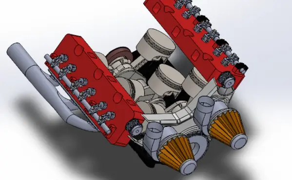
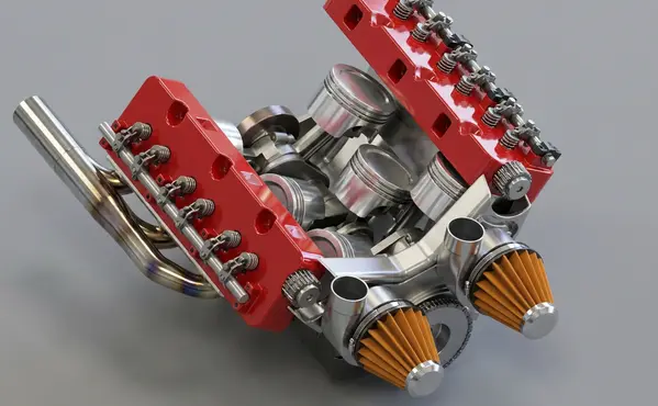
Modeled by CADSharp in Onshape. Rendered with RENDERCAD.
Add | Change | or Remove referenced objects with the stroke of a brush.
RENDERCAD uses a maintained selection of image-generation models for different rendering tasks. Results can vary by model and input, so compare generated output with the source design before relying on geometry, materials, or dimensions.
| Feature | RENDERCAD | Competitor |
|---|---|---|
| Engine | Generative AI | Varies by tool |
| Output | Images + Video | Varies by tool |
| Resolution | HD / 4K | Varies by workflow |
| Image Speed | Image renders complete in 60 seconds. | Varies by scene/tool |
| Video Speed | Videos complete in 2-5 minutes. | Varies by workflow |
| Scene Set Up | No separate local scene | Varies by workflow |
| Input | Screen Snip | Varies by tool |
| Hardware | Cloud GPU | Often local GPU/CPU |
| Install | None | Varies (web or app) |
| Cost | from $9/mo | Varies widely |
Read the numbers. We trust you to know theirs.
Skip a separate local scene build. Pick a condition, material, and background while RENDERCAD handles the image-generation step. Image renders complete in 60 seconds.
 ™
RENDERCAD™
™
RENDERCAD™
Use the browser workflow directly, capture a selected view with the desktop app, or start from the browser extension.
Get StartedCommon solutions for ZWCAD Survey users
Use overlapping masked regions with separate references or instructions, then inspect the transition and iterate where a boundary is visible.
Yes. Mask a region, then assign a specific reference image just to that masked area. Other areas can have different references or default to the prompt.
Upload a clear image, describe denim, cotton, velvet, or another fabric, and add a material reference when available. Check the generated weave scale and direction against the intended product.
Choose a suitable background and describe a reflective floor. Inspect the generated reflection for alignment, product fidelity, and unintended details.
Choose the Orbit camera preset in the Video panel. Review the generated clip because viewpoint changes and product details can vary from a single-image input.
If the source viewport is visible but a local renderer fails, capture a clear screenshot and use it as a RENDERCAD input. Image renders complete in 60 seconds.
Yes. Upload a photo of a foam model and prompt "Finished plastic product" to visualize the final look.
Use the Realistic engine with a clear input, a specific material description, and a suitable background or reference. Results vary, so review the output against the source product.
Image renders complete in 60 seconds.
Generation runs on cloud infrastructure, so a local rendering GPU is not required. The device still needs sufficient resources for the source application, browser, and network connection.
Context prompts can provide a visual scale cue, but the source model and known dimensions remain authoritative. Do not infer measurements from generated imagery.
RENDERCAD starts from a 2D image and uses generated material and environment direction. Built-in renderers may provide direct scene, geometry, lighting, and material control.