Refine Bentley Descartes reality-data views for clearer infrastructure communication.
Bentley Descartes processes and integrates infrastructure reality data, including point clouds, reality meshes, scalable terrain models, and raster imagery, for engineering workflows.





Bentley Descartes processes and integrates infrastructure reality data, including point clouds, reality meshes, scalable terrain models, and raster imagery, for engineering workflows.
Bentley Descartes is used to bring surveyed and image-based existing conditions into infrastructure modeling workflows. Teams can work with large point clouds, reality meshes, scalable terrain models, and raster imagery; clean or classify point-cloud content; and use modeling, clipping, and sectioning tools to examine a corridor, structure, earthworks area, or site context. A carefully prepared Descartes view can be valuable when the underlying data is too dense or technical for a proposal board, public-facing discussion, or executive review.
Use RENDERCAD after the engineering team has selected a meaningful camera view: for example, a clipped LiDAR view showing a bridge approach, a mesh-and-aerial context view of a work zone, or terrain with visible proposed alignment context. It can turn that view into a clearer presentation still for existing-condition narratives, option discussions, stakeholder workshops, and marketing collateral. The result should communicate the intended scene, not replace the source dataset. Keep Descartes responsible for coordinates, measurements, point classifications, breaklines, extracted ground, and engineering conclusions.
In Bentley Descartes, prepare only the reality-data view that supports the story. Combine the relevant point cloud or reality mesh with terrain, raster, or engineering context, then use clipping or a cross-section where it makes the existing condition easier to read. Remove distracting content, choose a camera that makes the location and scale understandable, and capture a clean viewport image.
Upload that image to RENDERCAD with a concise brief such as an aerial-context visual for a corridor review, a legible existing-condition image for a proposal, or an atmospheric but credible site-context still for a stakeholder deck. Specify what must remain recognizable, including key structures, terrain relationships, and the chosen viewpoint. Use the enhanced still alongside - not instead of - Descartes views and source data when audiences need to inspect dimensions, classification, or design accuracy.
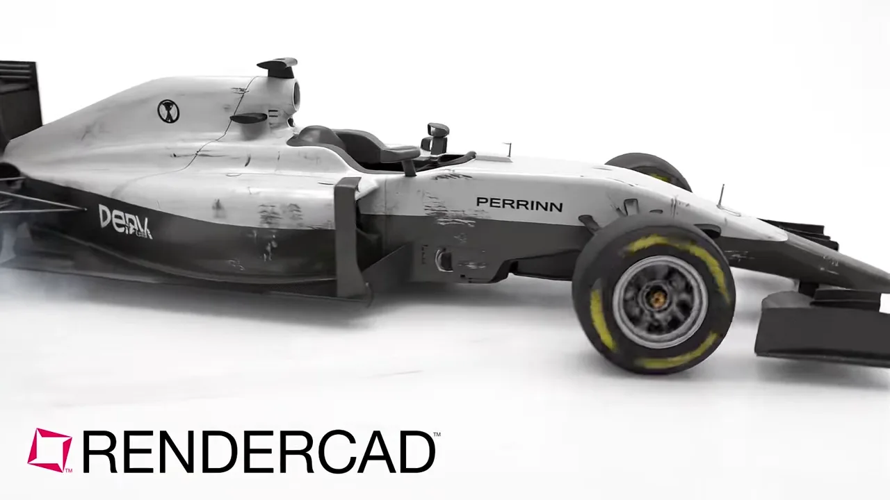
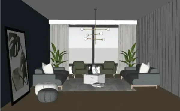
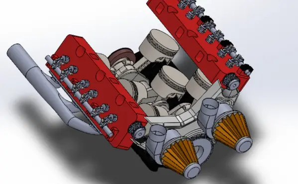
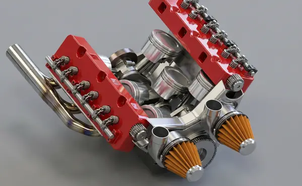
Modeled by CADSharp in Onshape. Rendered with RENDERCAD.
Add | Change | or Remove referenced objects with the stroke of a brush.
RENDERCAD uses a maintained selection of image-generation models for different rendering tasks. Results can vary by model and input, so compare generated output with the source design before relying on geometry, materials, or dimensions.
| Feature | RENDERCAD | Bentley Descartes |
|---|---|---|
| Engine | Generative AI | Reality data processing and integration for infrastructure workflows, with point-cloud editing, classification, modeling, clipping, sectioning, and raster tools |
| Output | Images + Video | Engineering views and presentation deliverables from point clouds, reality meshes, terrain models, and raster imagery, including animations and renderings |
| Resolution | HD / 4K | Output detail depends on the source reality data, viewport, and selected export or presentation settings |
| Image Speed | Image renders complete in 60 seconds. | Preparation and output time vary with data volume, view complexity, processing tasks, and local hardware |
| Video Speed | Videos complete in 2-5 minutes. | Animation and rendering output time varies with scene content, duration, settings, and hardware |
| Scene Set Up | No separate local scene | Reality data is integrated with engineering context, then cleaned or classified and framed with display, clipping, or sectioning tools for the required view |
| Input | Screen Snip | Point clouds, reality meshes, scalable terrain models, raster imagery, and related engineering or GIS context |
| Hardware | Cloud GPU | Desktop infrastructure reality-data software used in engineering and information modeling workflows |
| Install | None | Desktop software access and applicable Bentley licensing are required for the Descartes workflow |
| Cost | from $9/mo | Licensing terms vary by region and purchase path; confirm current options with Bentley |
Read the numbers. We trust you to know theirs.
Skip a separate local scene build. Pick a condition, material, and background while RENDERCAD handles the image-generation step. Image renders complete in 60 seconds.
 ™
RENDERCAD™
™
RENDERCAD™
Use the browser workflow directly, capture a selected view with the desktop app, or start from the browser extension.
Get StartedCommon solutions for Bentley Descartes users
Image references and masks are applied during the initial image render. Once you have your styled image, use the Image-to-Video feature to animate it with camera movements.
Create one master render, then use masking and reference swapping to generate variations - different colors, backgrounds, and contexts - from a single session.
Capture a clear view and describe the intended glow color, brightness, and surrounding light spill. Review the generated image because bloom and illumination can vary.
Upload a CAD screenshot, real photo, or hand drawing and describe warm golden-hour light and the intended direction. Review the generated color and shadows because the interpretation can vary.
Choose the Orbit camera preset and keep the source image as the authority for product shape and visible details. Generated parallax and newly revealed areas can vary.
Yes. RENDERCAD's Render Studio works on Safari or Chrome on Mac, allowing you to turn CAD screenshots, real photos, and hand drawings into pro renders easily.
Generating images or videos consumes credits. Your balance refreshes monthly based on your subscription plan.
Add a familiar scale cue such as a person, hand, or furniture item, then verify the generated relationship against known dimensions in the source model.
RENDERCAD can place a clear viewport capture into a described lifestyle environment, such as a kitchen or office, and produce options for review.
The screenshot workflow uses image inputs, presets, and plain-language direction. Teams should still review generated output with the appropriate designer or product owner.
Use a condition preset or regional instruction to explore dust, scratches, or age. Generated wear patterns do not predict real product use.
A supported browser can submit a clear 2D input without a local rendering GPU.