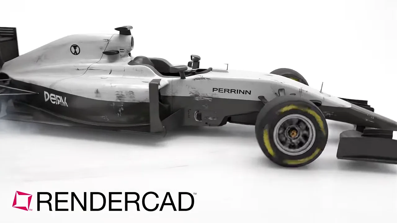
Presentation visuals for AutoCAD Map 3D GIS and infrastructure views.
AutoCAD Map 3D combines DWG drawing objects with GIS features, raster imagery, and attribute data for infrastructure, land, utility, and mapping workflows. Its map files can retain links to multiple data sources while Display Manager organizes and styles the layers used to tell a location-based design story.


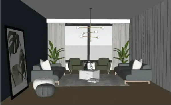

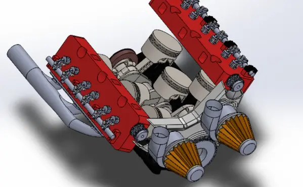
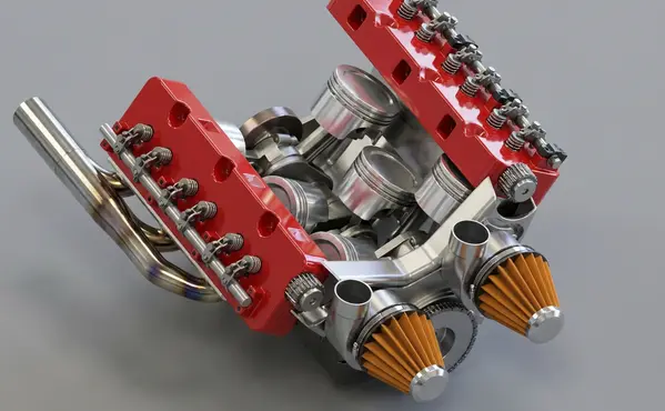


AutoCAD Map 3D combines DWG drawing objects with GIS features, raster imagery, and attribute data for infrastructure, land, utility, and mapping workflows. Its map files can retain links to multiple data sources while Display Manager organizes and styles the layers used to tell a location-based design story.
AutoCAD Map 3D is useful when a project team needs to understand how CAD linework relates to mapped features and real-world context. A selected viewport can bring together parcel boundaries, roads, utility alignments, building footprints, raster reference, and terrain or surface information for a utility route, access study, roadway corridor, station area, or asset plan. RENDERCAD can help turn that deliberately prepared view into a presentation visual that makes the physical setting, route, or proposed intervention easier to discuss in a proposal, public-facing concept, stakeholder meeting, or design review. Start with the view that answers one question, such as where a new line crosses a site, how an asset relates to surrounding access, or what a corridor looks like at a key location. The result is a communication asset, not an authoritative map. Keep geospatial feature editing, attribute values, coordinate systems, connected source data, measurements, and formal mapping deliverables in AutoCAD Map 3D.
In AutoCAD Map 3D, assemble the drawing, feature, raster, and attribute layers that establish the story. Use Display Manager to set a clear draw order and styling, then isolate the roads, parcels, alignment, assets, imagery, or surface context that a viewer needs. Remove construction aids and dense labels that distract from the chosen location, while retaining only the labels needed for orientation. Frame a focused viewport and check that the visible geometry reads clearly at the intended scale. Capture that prepared view for RENDERCAD, using a prompt that preserves the route, boundaries, and important access relationships while developing a more approachable presentation image. Use the output alongside the Map 3D source view for a review deck, concept board, engagement material, or proposal. Return to AutoCAD Map 3D whenever data currency, spatial accuracy, layer styling, feature attributes, or map production matters.
Modeled by CADSharp in Onshape. Rendered with RENDERCAD.
Add | Change | or Remove referenced objects with the stroke of a brush.
RENDERCAD uses a maintained selection of image-generation models for different rendering tasks. Results can vary by model and input, so compare generated output with the source design before relying on geometry, materials, or dimensions.
| Feature | RENDERCAD | Competitor |
|---|---|---|
| Engine | Generative AI | Varies by tool |
| Output | Images + Video | Varies by tool |
| Resolution | HD / 4K | Varies by workflow |
| Image Speed | Image renders complete in 60 seconds. | Varies by scene/tool |
| Video Speed | Videos complete in 2-5 minutes. | Varies by workflow |
| Scene Set Up | No separate local scene | Varies by workflow |
| Input | Screen Snip | Varies by tool |
| Hardware | Cloud GPU | Often local GPU/CPU |
| Install | None | Varies (web or app) |
| Cost | from $9/mo | Varies widely |
Read the numbers. We trust you to know theirs.
Skip a separate local scene build. Pick a condition, material, and background while RENDERCAD handles the image-generation step. Image renders complete in 60 seconds.
 ™
RENDERCAD™
™
RENDERCAD™
Use the browser workflow directly, capture a selected view with the desktop app, or start from the browser extension.
Get StartedCommon solutions for AutoCAD Map 3D users
Choose a suitable background and describe a reflective floor. Inspect the generated reflection for alignment, product fidelity, and unintended details.
Yes. Choose the Dolly In or Dolly Out camera preset in the Video panel, then review the clip for product and geometry fidelity.
If the source viewport is visible but a local renderer fails, capture a clear screenshot and use it as a RENDERCAD input. Image renders complete in 60 seconds.
Yes. Upload a photo of a foam model and prompt "Finished plastic product" to visualize the final look.
Describe the color code name (e.g., "Traffic Red") in the prompt.
Image renders complete in 60 seconds.
Generation runs on cloud infrastructure, so a local rendering GPU is not required. The device still needs sufficient resources for the source application, browser, and network connection.
Context prompts can provide a visual scale cue, but the source model and known dimensions remain authoritative. Do not infer measurements from generated imagery.
RENDERCAD starts from a 2D image and uses generated material and environment direction. Built-in renderers may provide direct scene, geometry, lighting, and material control.
Provide a material reference or describe the intended scale, then compare the result with known dimensions and the source model.
A material photo can communicate grain, color, and finish more directly than text alone. Compare the result with the intended material because scale and orientation can drift.
Yes. Draw a mask around the product and direct the background region separately. Inspect the full result because unmasked content can still drift during generation.