Presentation-ready visuals from OpenRoads roadway and corridor views.
Bentley OpenRoads Designer is a detailed civil design application for roadway projects, with terrain, horizontal and vertical alignments, parametric corridors, drainage, subsurface utilities, and plan production. Its coordinated 3D views can bring proposed pavement, grading, structures, and real-world project context together for road and site design communication.




Bentley OpenRoads Designer is a detailed civil design application for roadway projects, with terrain, horizontal and vertical alignments, parametric corridors, drainage, subsurface utilities, and plan production. Its coordinated 3D views can bring proposed pavement, grading, structures, and real-world project context together for road and site design communication.
Bentley OpenRoads Designer brings terrain, alignments, parametric roadway corridors, drainage, and utilities into a coordinated civil model. RENDERCAD fits after the engineering view is ready but a project needs a legible visual for a design review, public meeting, pursuit, or client update. A well-framed OpenRoads viewport can explain an interchange, roundabout, corridor alternative, bridge approach, complete-street improvement, or grading area more clearly than a plan sheet alone. Include the proposed road, terrain, and enough existing features or nearby structures to establish scale and the relationship to the site. RENDERCAD can develop that intentional capture into a presentation image with clearer material separation, landscape context, lighting, and atmosphere while retaining the visible road geometry. This is useful for comparing alternatives, communicating a proposed condition to non-technical audiences, and building review boards or slide decks. Keep OpenRoads Designer as the source of truth for design geometry, quantities, drainage, utility coordination, clearances, and construction documentation; a presentation image should not be used to verify those engineering decisions.
In OpenRoads Designer, open the current model and frame a 3D view around the decision: an intersection, roundabout, corridor segment, bridge approach, roadside grading area, or streetscape option. Show the proposed pavement and corridor components with enough terrain, existing conditions, and nearby context to make elevation and scale understandable. For option comparisons, use a consistent camera position and capture each alternative separately. Hide stationing, construction limits, analysis graphics, utility labels, selection highlights, and other dense working overlays before capturing the viewport. Use the capture in RENDERCAD to create a polished still for agency coordination, public-facing boards, presentations, or a client update. Compare the final image with the current OpenRoads view before sharing it when the distinction between existing and proposed work matters. For repeat image workflows, consult developer documentation.
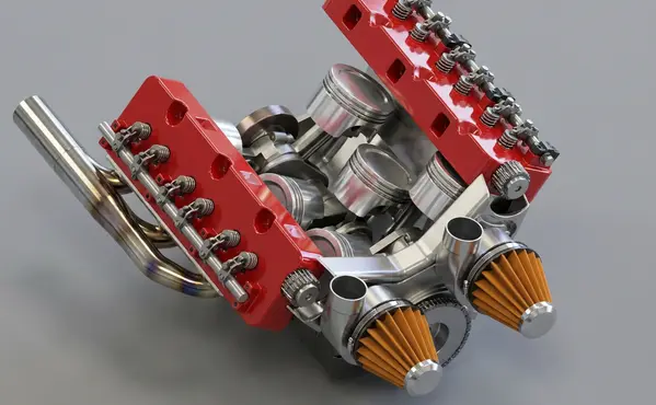
Modeled by CADSharp in Onshape. Rendered with RENDERCAD.
Add | Change | or Remove referenced objects with the stroke of a brush.
RENDERCAD uses a maintained selection of image-generation models for different rendering tasks. Results can vary by model and input, so compare generated output with the source design before relying on geometry, materials, or dimensions.
| Feature | RENDERCAD | Competitor |
|---|---|---|
| Engine | Generative AI | Varies by tool |
| Output | Images + Video | Varies by tool |
| Resolution | HD / 4K | Varies by workflow |
| Image Speed | Image renders complete in 60 seconds. | Varies by scene/tool |
| Video Speed | Videos complete in 2-5 minutes. | Varies by workflow |
| Scene Set Up | No separate local scene | Varies by workflow |
| Input | Screen Snip | Varies by tool |
| Hardware | Cloud GPU | Often local GPU/CPU |
| Install | None | Varies (web or app) |
| Cost | from $9/mo | Varies widely |
Read the numbers. We trust you to know theirs.
Skip a separate local scene build. Pick a condition, material, and background while RENDERCAD handles the image-generation step. Image renders complete in 60 seconds.
 ™
RENDERCAD™
™
RENDERCAD™
Use the browser workflow directly, capture a selected view with the desktop app, or start from the browser extension.
Get StartedCommon solutions for Bentley OpenRoads Designer users
Generation runs on cloud infrastructure, so a local rendering GPU is not required. The laptop still needs a supported browser, network access, and enough resources for the source application and image upload.
The core workflow is available in a supported browser and accepts a selected 2D image, so it does not require a rendering plugin in the source application.
The model can reinterpret curves and surface transitions from the 2D input. Compare the result with the source because edges and geometry can drift.
It accepts a clear viewport screenshot, so a separate local material, light, and camera scene is not required for the image-generation workflow.
It lets you describe motion, steam, lighting changes, or atmosphere for a generated clip. Added details may not exist in the source model.
No. Image references and masks require the Realistic engine. Switch to Realistic before adding reference guidance.
Use overlapping masked regions with separate references or instructions, then inspect the transition and iterate where a boundary is visible.
Yes. Mask a region, then assign a specific reference image just to that masked area. Other areas can have different references or default to the prompt.
Describe chrome or a silver mirror finish and choose an environment that provides useful reflections. Inspect the output for artifacts and unintended reflected details.
Choose a suitable background and describe a reflective floor. Inspect the generated reflection for alignment, product fidelity, and unintended details.
Choose the Orbit camera preset and keep the source image as the authority for product shape and visible details. Generated parallax and newly revealed areas can vary.
If the source viewport is visible but a local renderer fails, capture a clear screenshot and use it as a RENDERCAD input. Image renders complete in 60 seconds.