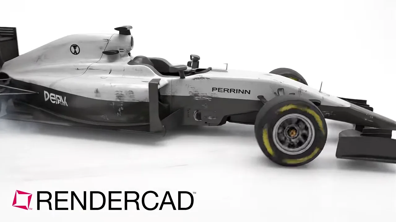
Presentation visuals from Bentley ContextCapture site views.
Bentley ContextCapture, now iTwin Capture Modeler, prepares photographs and lidar point clouds as infrastructure reality data for design, construction, and operations context.




Bentley ContextCapture, now iTwin Capture Modeler, prepares photographs and lidar point clouds as infrastructure reality data for design, construction, and operations context.
Bentley ContextCapture projects, now handled in iTwin Capture Modeler, turn site photographs or lidar into reality meshes, orthomosaics, point clouds, and surface models for infrastructure context. That makes the software useful for explaining an existing bridge, road corridor, rail asset, utility area, industrial facility, terrain zone, or construction site before a design change is discussed. The most useful RENDERCAD input is a clean, oblique reality-mesh view with the asset, adjacent ground, and relevant approach or connection visible together. Aerial perspectives can communicate a corridor or interchange; lower angles can make a structure, facade, or constrained work area easier to understand. Use RENDERCAD to develop a presentation-led visual for a proposal, stakeholder briefing, design review, consultation board, or project update. It should clarify the story of the selected view, not replace a survey deliverable. Keep iTwin Capture Modeler outputs, coordinates, measurements, source imagery, and engineering models as the source of truth for dimensions, condition assessment, quantities, and technical decisions.
In Bentley ContextCapture or iTwin Capture Modeler, import and organize the photographs or lidar, set up the processing task, and review the resulting reality data before making a presentation capture. Select a mesh view that shows the existing-condition relationship a viewer needs to grasp, such as a bridge within its approaches, a station beside its corridor, or a facility within the surrounding terrain. Hide measurement marks, clipping aids, selections, and interface panels. Use an angle and crop that retain recognizable site context, then capture the clean viewport. Upload the image to RENDERCAD and direct the result toward a clear briefing or proposal visual, preserving the apparent site layout rather than inventing unverified construction detail. Return to Bentley's reality model and project data whenever accuracy, coordinates, scale, or measured conditions matter.
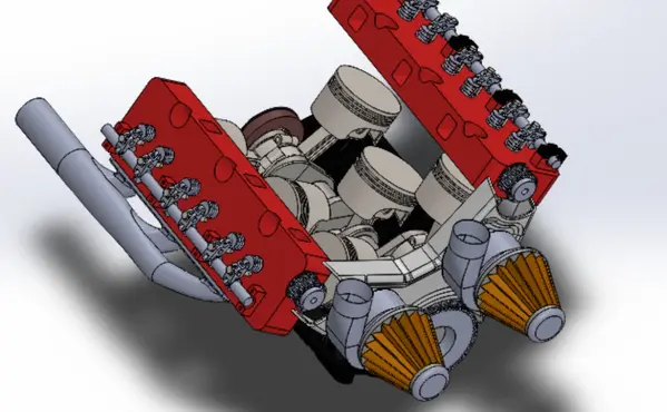
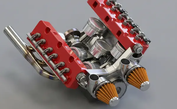
Modeled by CADSharp in Onshape. Rendered with RENDERCAD.
Add | Change | or Remove referenced objects with the stroke of a brush.
RENDERCAD uses a maintained selection of image-generation models for different rendering tasks. Results can vary by model and input, so compare generated output with the source design before relying on geometry, materials, or dimensions.
| Feature | RENDERCAD | Bentley ContextCapture |
|---|---|---|
| Engine | Generative AI | Reality modeling workflow that turns photographs and lidar point clouds into infrastructure reality data, including textured meshes and mapping outputs |
| Output | Images + Video | Multiresolution reality meshes, point clouds, orthomosaics, digital surface models, Gaussian splats, and interoperable files for downstream workflows |
| Resolution | HD / 4K | Model detail depends on source capture, image overlap, lidar density, georeferencing, processing settings, and the selected output |
| Image Speed | Image renders complete in 60 seconds. | Processing time varies with the source data, reconstruction settings, output type, and whether processing is local or cloud-based |
| Video Speed | Videos complete in 2-5 minutes. | Not primarily a video rendering product; video output depends on the downstream visualization or presentation workflow |
| Scene Set Up | No separate local scene | Import and organize photographs or lidar, set the spatial reference and processing options, reconstruct and clean the result, then prepare a view or export |
| Input | Screen Snip | Photographs, drone imagery, lidar point clouds, camera information, control points, and georeferencing data |
| Hardware | Cloud GPU | Desktop reality modeling software with local processing and cloud processing options, plus delivery paths for connected data, CAD, GIS, and web workflows |
| Install | None | Desktop software is used to prepare projects; processing access depends on the chosen local or cloud workflow |
| Cost | from $9/mo | Project preparation and processing access have separate licensing considerations; confirm current terms with Bentley |
Read the numbers. We trust you to know theirs.
Skip a separate local scene build. Pick a condition, material, and background while RENDERCAD handles the image-generation step. Image renders complete in 60 seconds.
 ™
RENDERCAD™
™
RENDERCAD™
Use the browser workflow directly, capture a selected view with the desktop app, or start from the browser extension.
Get StartedCommon solutions for Bentley ContextCapture users
Choose the Dusty condition and describe the intended atmosphere. Generated dust is illustrative, so review how it affects important product details.
RENDERCAD videos are generated at 720p.
Use the RENDERCAD Overlay to capture a clear viewport without rebuilding a separate render scene. Image renders complete in 60 seconds.
Yes. A current desktop capture app and browser extension are available, and the browser upload workflow remains available without either tool.
Describe the color code name (e.g., "Traffic Red") in the prompt.
Generation runs on cloud infrastructure, so a local rendering GPU is not required. The laptop still needs a supported browser, network access, and enough resources for the source application and image upload.
The core workflow is available in a supported browser and accepts a selected 2D image, so it does not require a rendering plugin in the source application.
The model can reinterpret curves and surface transitions from the 2D input. Compare the result with the source because edges and geometry can drift.
It accepts a clear viewport screenshot, so a separate local material, light, and camera scene is not required for the image-generation workflow.
It lets you describe motion, steam, lighting changes, or atmosphere for a generated clip. Added details may not exist in the source model.
Use authorized product photography to guide angles, shadows, or highlights. Review the result for product and brand fidelity.
Yes. Use a mask to target the background separately from the foreground product. Review both regions because generation can still alter unmasked content.